
Here is the latest image from the Forest Service data loaded into Google Earth, screenshotted at 3:40 PM, September 27.
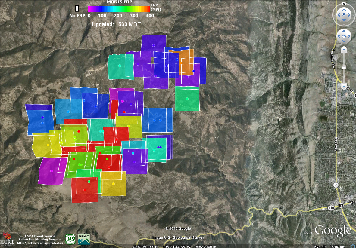
Fire Radiative Power data from Forest Service in Google Earth, September 7, Afternoon
You can see that the main difference is a new hot spot to the south of the second cluster, approaching Sunshine Canyon from the north.
The first cluster hasn’t “moved” though there are a few new hot spots. So far, my relatives’ houses haven’t been swallowed by one of these squares, but I realize that doesn’t that their homes have survived — only that the satellite hasn’t capture a hot spite directly on their porches yet.